
DB/T 84-2020 in English
VALIDDatabase structure of satellite remote sensing data in earthquake application
- Issued on:2020-03-30
- Implemented on:2020-07-01
- File Format:PDF
- Delivery:Via email within 5 business days
$476.00
本标准规定了卫星遥感地震应用数据库的数据内容、数据库表命名、数据库表结构及基本技术要求。
本标准适用于卫星遥感地震应用数据库建设和应用。
Introduction
Standard Background and Significance
This standard was proposed by the China Earthquake Administration to standardize the construction of application databases of satellite remote sensing technology in the earthquake industry. With the development of remote sensing technologies such as Synthetic Aperture Radar (SAR) and Infrared Radiometer, standardized databases are essential for data sharing and disaster emergency response.
Core content structure
| Data type | Table prefix | Typical table example |
|---|---|---|
| Raw data | OO_ | Satellite remote sensing data table (DO_RSImage) |
| Basic data | B_ | Earthquake information table (B_Earthquake) |
| Product data | RM_/RI_/RE_ | Emergency rescue thematic table (RE_VectorMap) |
Key Technical Specifications
1. Database Naming Rules
A three-part structure is used: RRSDB_abbreviation of database establishment unit (8 digits)_year of database establishment. For example, the database created by the Institute of Crustal Stress of China Earthquake Administration in 2018 is named: RRSDB_00000ICD_2018
2. Field type specification
- char(n): fixed-length string (such as GUID uses char(32))
- number(m,n): numeric type (latitude and longitude are accurate to 4 decimal places)
- date: UTC time format (YYYY-MM-DD HH:MI:SS)
Implementation suggestions
- Data layered storage: original data, basic data, and product data need to be physically isolated
- Relationship maintenance: maintain the relationship between tables through GUID, such as the relationship between the earthquake monitoring product table and the original image table
- Extensibility principle: new fields must follow the naming convention, and modification of primary keys and relationships is prohibited
Technology evolution analysis
Compared with DB/T 69-2017, this standard adds LiDAR data support, and refines the storage specifications of electromagnetic field data, reflecting the trend of multi-source remote sensing data fusion.

Loading PDF document...
Error loading PDF. Please make sure the file is valid and try again.
We also recommend
-
DB51/T 988-2010 in English
2010-02-10 -

DB/T 68-2017 in English
Integrated lightning protection of seismic stations
2017-09-26 -
DB11/T 536-2021 in English
2021-12-28 -
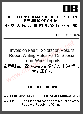
DB/T 93.3-2024 in English
Inversion Fault Exploration Results Report Writing Rules Part 3: Special Topic Work Reports
2024-12-24 -
DB23/T 3845-2024 in English
2024-08-30 -
DB11/T 2214-2024 in English
2024-03-25 -
DB63/ 606-2006 in English
2006-11-20 -
DB13/T 6065-2025 in English
2025-04-03 -
DB53/ 276-2008 in English
2008-12-16 -
DB41/T 2109-2021 in English
2021-04-12


