
GB/T 24355-2023 in English
VALIDGeographic information—Portrayal
- Issued on:2023-05-23
- Implemented on:2023-05-23
- File Format:PDF
- Delivery:Via email within 5 business days
$1,232.00
《GB/T 24355-2023地理信息 图示表达》由TC230(全国地理信息标准化技术委员会)归口,主管部门为自然资源部(测绘地理)。
Introduction
GB/T 24355-2023 Geographical Information - Cartographic Representation
GB/T 24355-2023 is a national standard in China that focuses on the cartographic representation of geographical information. This standard provides guidelines and specifications for the design and presentation of maps, charts, and other graphical representations of spatial data.
The purpose of GB/T 24355-2023 is to ensure the accuracy, clarity, and consistency of cartographic products, thereby facilitating effective communication and interpretation of geographical information. It covers various aspects of cartographic representation, including symbolization, color usage, typography, labeling, and generalization.
This standard emphasizes the importance of using appropriate symbols and colors to represent different features and attributes on maps. It provides a comprehensive set of symbolization rules and guidelines to ensure that maps are visually appealing and easy to understand. Additionally, GB/T 24355-2023 specifies the use of standardized fonts and typographic conventions to enhance the legibility of map labels.
Furthermore, this standard addresses the issue of generalization, which involves simplifying and reducing the complexity of spatial data to fit within the constraints of a map. It provides guidance on how to effectively generalize geographical features while preserving their essential characteristics and maintaining the integrity of the information being conveyed.
In conclusion, GB/T 24355-2023 is an essential standard for the field of cartography in China. It helps cartographers and map designers create high-quality maps that accurately represent geographical information. By adhering to this standard, users can expect maps that are visually appealing, informative, and easy to interpret.

Loading PDF document...
Error loading PDF. Please make sure the file is valid and try again.
We also recommend
-

GB/T 12343.1-2008 in English
Compilation specifications for national fundamental scale maps - Part 1:compilation specifications for 1:25 000 1:50 000 1:100 000 topographic maps
2008-06-20 -
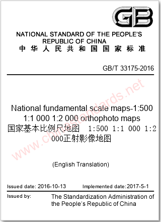
GB/T 33175-2016 in English
National fundamental scale maps-1:500 1:1 000 1:2 000 orthophoto maps
2016-10-13 -

GB/T 13989-2012 in English
Subdivision and numbering for the national primary scale topographic maps
2012-06-29 -

GB/T 35630-2017 in English
Data specification for mobile phone map
2017-12-29 -

GB/T 19996-2017 in English
Quality assessment of paper map publications
2017-12-29 -

GB/T 17833-1999 in English
Specifications for fishing charts
1999-08-24 -

GB/T 17158-2008 in English
Specifications for digitizing 1:500,1:1 000 and 1:2 000 topographic maps
2008-06-20


