
GB/T 17160-2008 in English
VALIDSpecifications for digitizing 1:500,1:1 000 and 1:2 000 topographic maps
- Issued on:2008-06-20
- Implemented on:2008-12-01
- File Format:PDF
- Delivery:Via email within 1~3 business days
$127.00
| Standard No: | GB/T 17160-2008 |
| Document status: | VALID |
| Title in English: | Specifications for digitizing 1:500,1:1 000 and 1:2 000 topographic maps |
| Title in Chinese: | 1:500 1:1 000 1:2 000地形图数字化规范 |
| Language: | English |
| File Format: | Electronic (PDF) |
| Delivery: | Via email within 1~3 business days |
| Issued on: | 2008-06-20 |
| Implemented on: | 2008-12-01 |
| Superseding: |
GB/T 17160-1997 Specifications for digitising of 1:500、1:1000 and 1:2000 topographic maps
|
| ICS Classification: | 07.040-Astronomy. Geodesy. Geography |
| Chinese Classification: | A79-Map printing |
| Professional Classification: | GB-National Standard |
| Related Keywords: | topographic maps
topographic map data topographic maps scopethis standard topographic map scanning topographic |
| Related Topics: | Digitizing
topographic map terrain "Digitizing Topographic Map GBT17160 GBT17160-1997 GB/T 17160-2008 GB/T 17160 Secondary antibody 1:1000 Map digitization gb 17160 |
《GB/T 17160-20081:500 1:1 000 1:2 000地形图数字化规范》由TC230(全国地理信息标准化技术委员会)归口,主管部门为自然资源部(测绘地理)。
本标准规定了以1:500、 1:1 000、 1:2 000地形图为信息源,采用地形图扫描数字化手段获取地形图数据的方法和要求。
本标准适用于采用地形图扫描数字化获取地形图数据,相应比例尺其他图种的数字化可参照执行。
Scope
This standard specifies the methods and requirements for obtaining topographic map data by means of topographic map scanning and digitalization using 1:500, 1:1000, and 1:2000 topographic maps as information sources. This standard is applicable to topographic map data obtained by digitization of topographic map scanning, and the digitization of other map types with corresponding scales can be implemented by reference.

Loading PDF document...
Error loading PDF. Please make sure the file is valid and try again.
We also recommend
-

GB/T 12343.1-2008 in English
Compilation specifications for national fundamental scale maps - Part 1:compilation specifications for 1:25 000 1:50 000 1:100 000 topographic maps
2008-06-20 -

GB/T 17833-1999 in English
Specifications for fishing charts
1999-08-24 -

GB/T 19996-2017 in English
Quality assessment of paper map publications
2017-12-29 -

GB/T 35630-2017 in English
Data specification for mobile phone map
2017-12-29 -

GB/T 15968-2008 in English
Specifications for remote sensing image plan making
2008-06-20 -

GB/T 24355-2023 in English
Geographic information—Portrayal
2023-05-23 -
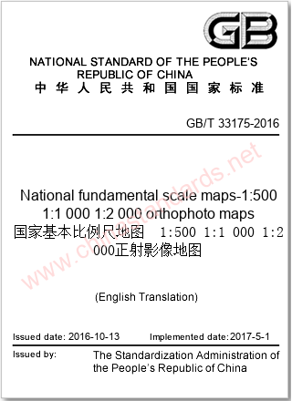
GB/T 33175-2016 in English
National fundamental scale maps-1:500 1:1 000 1:2 000 orthophoto maps
2016-10-13 -

GB/T 20257.2-2017 in English
Cartographic symbols for national fundamental scale maps-Part 2 :Specifications for cartographic symbols 1 : 5 000 & 1 : 10 000 topographic maps
2017-10-14 -

GB/T 17158-2008 in English
Specifications for digitizing 1:500,1:1 000 and 1:2 000 topographic maps
2008-06-20 -

GB/T 13989-2012 in English
Subdivision and numbering for the national primary scale topographic maps
2012-06-29


